
Asaa View
Guesthouse island in North Ari. Its reef is measured from satellite; guest reviews live on the booking sites.
Book Asaa View
Check availability for Asaa View. One tap opens the hotel on a booking site, where you’ll see the live price and choose your dates, rooms and guests.
Prices & availability by Stay22, updated live. We may earn a referral — never a placement, and it never affects a score.
House reef & underwater
Asaa View · North Ari · a shared island reef
Very Good house reef
Reef Conditions · top 27% of the 297 reefs we have measured
Shore entry Measured
~304 m across the lagoon to the drop-off — a genuine swim, not a wade.
Living cover Measured
About 39% of the mapped reef reads as living coral or algae from satellite.
Heat history Measured
Peak heat stress 5.34 DHW since the imagery, no bleaching alert on record.
From satellite this reef reads Very Good — roughly 39% living cover. We have not surveyed it in the water, so fish counts and big-encounter ratings stay pending. We don't estimate them.
Reef data modelled from Allen Coral Atlas benthic & geomorphic maps (CC BY 4.0) and NOAA Coral Reef Watch. No in-water survey — every figure above is a measurement. Marine icons: game-icons.net (CC BY 3.0).
Reef manta ray — southwest-monsoon sites
At Genburugau, feeding runs roughly May to December and was recorded on around 92% of surveys, with peaks in June and December. Maayafushi sees mantas year-round with a southwest-monsoon peak.
Reef manta ray — northeast-monsoon sites
On the atoll’s western and northern edges the season inverts, exactly as the current rule predicts. Gangehi feeds in the northeast monsoon and acts as a nursery, holding about a fifth of Ari’s young-of-year. Veligandu Kandu, off eastern Rasdhoo, runs November to April.
Grey reef & whitetip reef sharks
Year-round at Maaya Thila and Hafza Thila, which hold a documented grey reef aggregation.
Turtles — no atoll-level seasonal study exists; treat them as year-round residents rather than a season
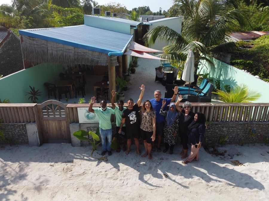
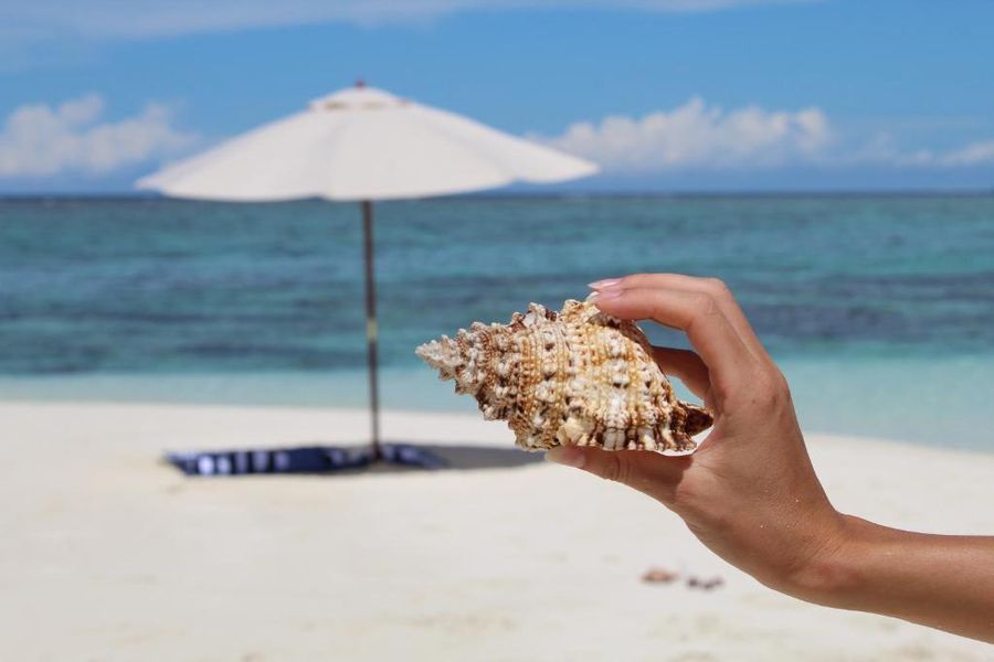
Photos
Where it is
4.05110, 72.72553The pin is the island centroid from our geocoding, not the building — properties on the same island share it. Satellite imagery © Esri, Maxar, Earthstar Geographics.